The Bedford Arms
Introduction
The photograph on this page of The Bedford Arms by Michael Trolove as part of the Geograph project.
The Geograph project started in 2005 with the aim of publishing, organising and preserving representative images for every square kilometre of Great Britain, Ireland and the Isle of Man.

There are currently over 7.5m images from over 14,400 individuals and you can help contribute to the project by visiting https://www.geograph.org.uk
The Bedford Arms
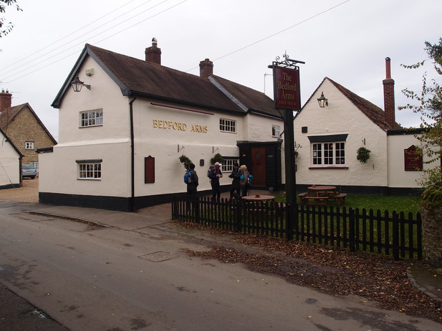
Image: © Michael Trolove Taken: 28 Oct 2012
Walker friendly pub. Enjoyed a pint of Brainstorm, a bitter from the Hopping Mad Brewery at nearby Olney.
Images are licensed for reuse under creativecommons.org/licenses/by-sa/2.0
Image Location
Latitude
52.244659
Longitude
-0.557132