Former chapel, Glasbury
Introduction
The photograph on this page of Former chapel, Glasbury by Jaggery as part of the Geograph project.
The Geograph project started in 2005 with the aim of publishing, organising and preserving representative images for every square kilometre of Great Britain, Ireland and the Isle of Man.

There are currently over 7.5m images from over 14,400 individuals and you can help contribute to the project by visiting https://www.geograph.org.uk
Former chapel, Glasbury
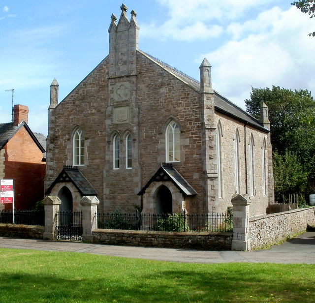
Image: © Jaggery Taken: 11 Sep 2011
Now a private residence located in The Green, this was formerly a United Reformed Chapel. The year 1866 is inscribed in stone above the central twin windows.
Images are licensed for reuse under creativecommons.org/licenses/by-sa/2.0
Image Location
Latitude
52.044604
Longitude
-3.202145