South Gloucestershire boundary, Charfield
Introduction
The photograph on this page of South Gloucestershire boundary, Charfield by Jaggery as part of the Geograph project.
The Geograph project started in 2005 with the aim of publishing, organising and preserving representative images for every square kilometre of Great Britain, Ireland and the Isle of Man.

There are currently over 7.5m images from over 14,400 individuals and you can help contribute to the project by visiting https://www.geograph.org.uk
South Gloucestershire boundary, Charfield
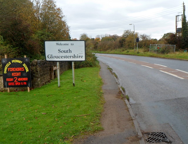
Image: © Jaggery Taken: 28 Oct 2012
The B4058 Wotton Road leaves Gloucestershire and enters South Gloucestershire at the eastern approach to the village of Charfield. The physical feature marking the county boundary here is the Little Avon River. http://www.geograph.org.uk/photo/3201372
Images are licensed for reuse under creativecommons.org/licenses/by-sa/2.0
Image Location
Latitude
51.631192
Longitude
-2.393074