Hartfield Road, Saltdean
Introduction
The photograph on this page of Hartfield Road, Saltdean by Simon Carey as part of the Geograph project.
The Geograph project started in 2005 with the aim of publishing, organising and preserving representative images for every square kilometre of Great Britain, Ireland and the Isle of Man.

There are currently over 7.5m images from over 14,400 individuals and you can help contribute to the project by visiting https://www.geograph.org.uk
Hartfield Road, Saltdean
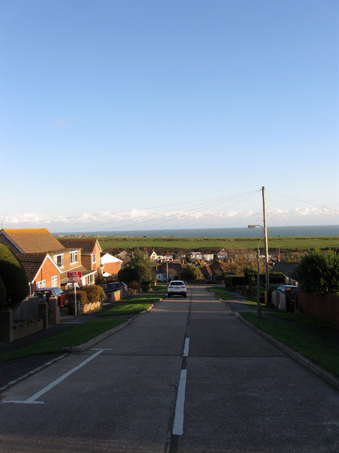
Image: © Simon Carey Taken: 27 Oct 2012
Small link road that runs between Rodmell Avenue and Cissbury Crescent that wasn't part of the original plans but seems to have been added sometime in the late 1930s or 40s. The land drops down here into what was once Bannings Bottom with Telscombe Tye the large green swathe of land beyond.
Images are licensed for reuse under creativecommons.org/licenses/by-sa/2.0
Image Location
Latitude
50.804137
Longitude
-0.02901