SW end of Fort View, Bassaleg
Introduction
The photograph on this page of SW end of Fort View, Bassaleg by Jaggery as part of the Geograph project.
The Geograph project started in 2005 with the aim of publishing, organising and preserving representative images for every square kilometre of Great Britain, Ireland and the Isle of Man.

There are currently over 7.5m images from over 14,400 individuals and you can help contribute to the project by visiting https://www.geograph.org.uk
SW end of Fort View, Bassaleg
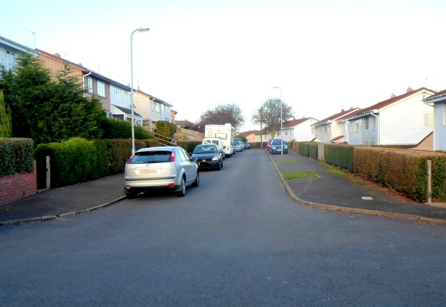
Image: © Jaggery Taken: 27 Oct 2012
Looking in the direction of Laurel Road. A play park http://www.geograph.org.uk/photo/3199492 is a few metres behind the camera.
Images are licensed for reuse under creativecommons.org/licenses/by-sa/2.0
Image Location
Latitude
51.578045
Longitude
-3.051683