Path in Faversham Cemetery
Introduction
The photograph on this page of Path in Faversham Cemetery by David Anstiss as part of the Geograph project.
The Geograph project started in 2005 with the aim of publishing, organising and preserving representative images for every square kilometre of Great Britain, Ireland and the Isle of Man.

There are currently over 7.5m images from over 14,400 individuals and you can help contribute to the project by visiting https://www.geograph.org.uk
Path in Faversham Cemetery
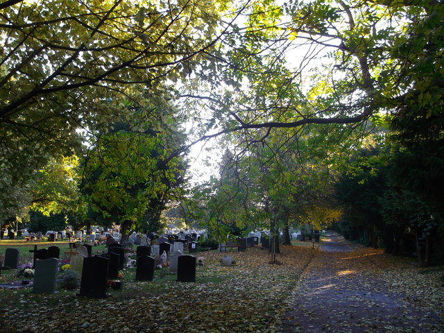
Image: © David Anstiss Taken: 27 Oct 2012
This long path is an access road within the cemetery beside Love Lane. The conifers on the right are beside the Windermere road housing estate.
Images are licensed for reuse under creativecommons.org/licenses/by-sa/2.0
Image Location
Latitude
51.310428
Longitude
0.901512