Lulham Close, Telscombe Cliffs
Introduction
The photograph on this page of Lulham Close, Telscombe Cliffs by Simon Carey as part of the Geograph project.
The Geograph project started in 2005 with the aim of publishing, organising and preserving representative images for every square kilometre of Great Britain, Ireland and the Isle of Man.

There are currently over 7.5m images from over 14,400 individuals and you can help contribute to the project by visiting https://www.geograph.org.uk
Lulham Close, Telscombe Cliffs
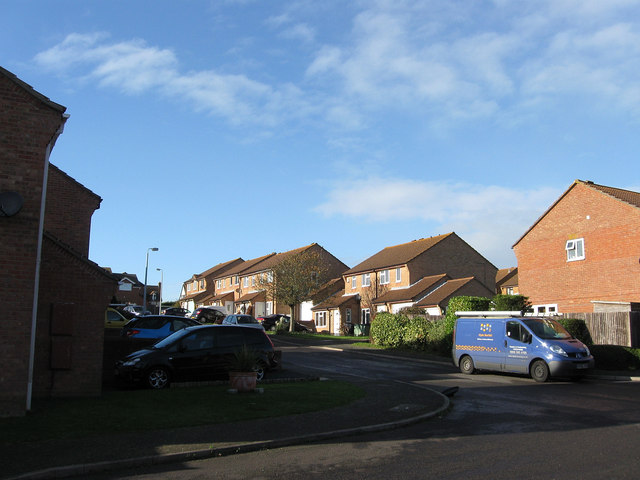
Image: © Simon Carey Taken: 27 Oct 2012
A cul de sac off The Ridings that was built in the 1980s when the northern end of Telscombe Cliffs once belonging to Kirby Farm was developed for housing.
Images are licensed for reuse under creativecommons.org/licenses/by-sa/2.0
Image Location
Latitude
50.804907
Longitude
-0.005559