Chatsworth Park, Telscombe Cliffs
Introduction
The photograph on this page of Chatsworth Park, Telscombe Cliffs by Simon Carey as part of the Geograph project.
The Geograph project started in 2005 with the aim of publishing, organising and preserving representative images for every square kilometre of Great Britain, Ireland and the Isle of Man.

There are currently over 7.5m images from over 14,400 individuals and you can help contribute to the project by visiting https://www.geograph.org.uk
Chatsworth Park, Telscombe Cliffs
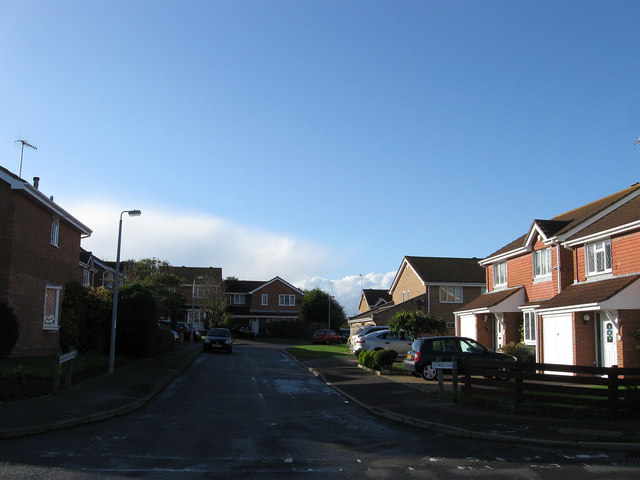
Image: © Simon Carey Taken: 27 Oct 2012
The name of the cul de sac that lies off Ambleside Avenue that was developed in the early 1980s along the course of an older track called Chatsworth Avenue that has largely disappeared under the whole redevelopment of the former fields of Kirby Farm. It backs onto the park of the same name.
Images are licensed for reuse under creativecommons.org/licenses/by-sa/2.0
Image Location
Latitude
50.802933
Longitude
-0.005785