Grassmere Avenue, Telscombe Cliffs
Introduction
The photograph on this page of Grassmere Avenue, Telscombe Cliffs by Simon Carey as part of the Geograph project.
The Geograph project started in 2005 with the aim of publishing, organising and preserving representative images for every square kilometre of Great Britain, Ireland and the Isle of Man.

There are currently over 7.5m images from over 14,400 individuals and you can help contribute to the project by visiting https://www.geograph.org.uk
Grassmere Avenue, Telscombe Cliffs
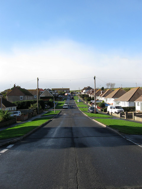
Image: © Simon Carey Taken: 27 Oct 2012
Running west from Telscombe Cliffs Way and one of the original roads laid out in the first decade of the 20th century by the Cavendish Land Company. The road initially ended at the junction with Cliff Gardens but was extended a little further to meet a new road, Broomfield Avenue, when the neighbouring field known as Portobello Furlong was acquired then developed after the Second World War. Viewed from the junction with Fairlight Avenue.
Images are licensed for reuse under creativecommons.org/licenses/by-sa/2.0
Image Location
Latitude
50.79881
Longitude
-0.017171