Little Mountain
Introduction
The photograph on this page of Little Mountain by Philip Halling as part of the Geograph project.
The Geograph project started in 2005 with the aim of publishing, organising and preserving representative images for every square kilometre of Great Britain, Ireland and the Isle of Man.

There are currently over 7.5m images from over 14,400 individuals and you can help contribute to the project by visiting https://www.geograph.org.uk
Little Mountain
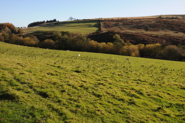
Image: © Philip Halling Taken: 27 Oct 2012
View across the valley, through which Cwmila Brook flows, to Little Mountain. A glance at the OS map of this area will throw up a number of occurrences of the word 'Mountain', not in its true sense, but in reality hills with upland common grazing.
Images are licensed for reuse under creativecommons.org/licenses/by-sa/2.0
Image Location
Latitude
52.140773
Longitude
-3.15169