Footpath 82W off the B2036
Introduction
The photograph on this page of Footpath 82W off the B2036 by Dave Spicer as part of the Geograph project.
The Geograph project started in 2005 with the aim of publishing, organising and preserving representative images for every square kilometre of Great Britain, Ireland and the Isle of Man.

There are currently over 7.5m images from over 14,400 individuals and you can help contribute to the project by visiting https://www.geograph.org.uk
Footpath 82W off the B2036
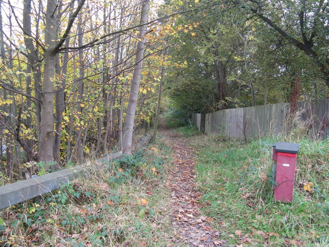
Image: © Dave Spicer Taken: 24 Oct 2012
The path runs close to the M23 for 1/2 kilometre then through housing at Maidenbower before entering Tilgate Park.
Images are licensed for reuse under creativecommons.org/licenses/by-sa/2.0
Image Location
Latitude
51.103642
Longitude
-0.145998