Western boundary of Monkswood
Introduction
The photograph on this page of Western boundary of Monkswood by Jaggery as part of the Geograph project.
The Geograph project started in 2005 with the aim of publishing, organising and preserving representative images for every square kilometre of Great Britain, Ireland and the Isle of Man.

There are currently over 7.5m images from over 14,400 individuals and you can help contribute to the project by visiting https://www.geograph.org.uk
Western boundary of Monkswood
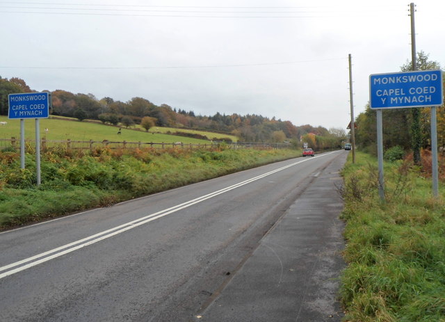
Image: © Jaggery Taken: 26 Oct 2012
The A472 towards Usk passes from Little Mill to Monkswood. The Little Mill boundary signs http://www.geograph.org.uk/photo/3196824 are on the back of the Monkswood signs.
Images are licensed for reuse under creativecommons.org/licenses/by-sa/2.0
Image Location
Latitude
51.721259
Longitude
-2.970603