Rumble Street, Monkswood
Introduction
The photograph on this page of Rumble Street, Monkswood by Jaggery as part of the Geograph project.
The Geograph project started in 2005 with the aim of publishing, organising and preserving representative images for every square kilometre of Great Britain, Ireland and the Isle of Man.

There are currently over 7.5m images from over 14,400 individuals and you can help contribute to the project by visiting https://www.geograph.org.uk
Rumble Street, Monkswood
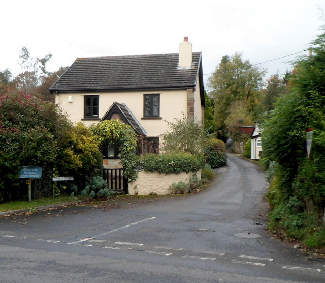
Image: © Jaggery Taken: 26 Oct 2012
Rumble Street heads north away from the A472, towards Penpedairheol. http://www.geograph.org.uk/photo/407059 A rather inconspicuous white on blue sign on the left shows that Rumble Street is unsuitable for heavy goods vehicles.
Images are licensed for reuse under creativecommons.org/licenses/by-sa/2.0
Image Location
Latitude
51.720415
Longitude
-2.963926