South end of Higher Brimley Terrace
Introduction
The photograph on this page of South end of Higher Brimley Terrace by Robin Stott as part of the Geograph project.
The Geograph project started in 2005 with the aim of publishing, organising and preserving representative images for every square kilometre of Great Britain, Ireland and the Isle of Man.

There are currently over 7.5m images from over 14,400 individuals and you can help contribute to the project by visiting https://www.geograph.org.uk
South end of Higher Brimley Terrace
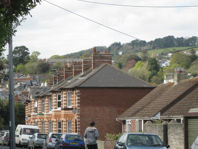
Image: © Robin Stott Taken: 6 May 2012
The middle of the terrace is seen in Image and the villa at the north end is seen in Image Beyond this engaging polychrome brick terrace Teignmouth's estates sprawl up the hillsides; Holcombe Down, upper right; new buildings at Trinity School beyond the terrace's chimneys.
Images are licensed for reuse under creativecommons.org/licenses/by-sa/2.0
Image Location
Latitude
50.551262
Longitude
-3.497446