Shute Hill meets Higher Brimley
Introduction
The photograph on this page of Shute Hill meets Higher Brimley by Robin Stott as part of the Geograph project.
The Geograph project started in 2005 with the aim of publishing, organising and preserving representative images for every square kilometre of Great Britain, Ireland and the Isle of Man.

There are currently over 7.5m images from over 14,400 individuals and you can help contribute to the project by visiting https://www.geograph.org.uk
Shute Hill meets Higher Brimley
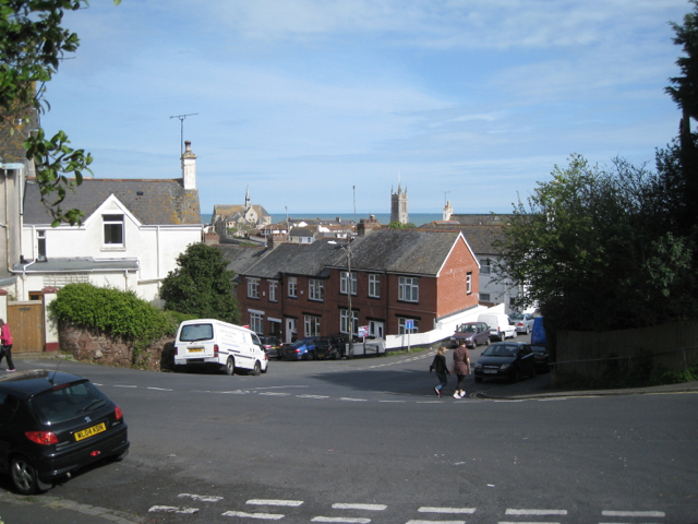
Image: © Robin Stott Taken: 6 May 2012
Heywood Road drops down, centre. The site of Image is just beyond the white van.
Images are licensed for reuse under creativecommons.org/licenses/by-sa/2.0
Image Location
Latitude
50.548932
Longitude
-3.496808