Retaining wall, corner of Higher Brimley
Introduction
The photograph on this page of Retaining wall, corner of Higher Brimley by Robin Stott as part of the Geograph project.
The Geograph project started in 2005 with the aim of publishing, organising and preserving representative images for every square kilometre of Great Britain, Ireland and the Isle of Man.

There are currently over 7.5m images from over 14,400 individuals and you can help contribute to the project by visiting https://www.geograph.org.uk
Retaining wall, corner of Higher Brimley
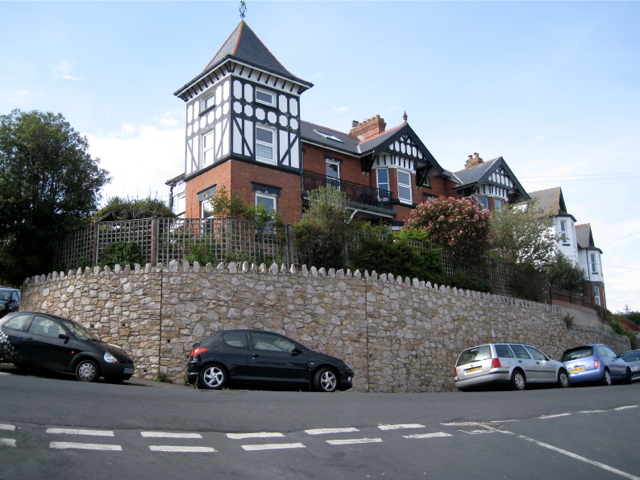
Image: © Robin Stott Taken: 6 May 2012
A serious, modern retaining wall. Without retaining walls the town would slide into the Teign. Seen from the top of Shute Hill.
Images are licensed for reuse under creativecommons.org/licenses/by-sa/2.0
Image Location
Latitude
50.54902
Longitude
-3.496952