End of Gasworks Lane
Introduction
The photograph on this page of End of Gasworks Lane by Graham Horn as part of the Geograph project.
The Geograph project started in 2005 with the aim of publishing, organising and preserving representative images for every square kilometre of Great Britain, Ireland and the Isle of Man.

There are currently over 7.5m images from over 14,400 individuals and you can help contribute to the project by visiting https://www.geograph.org.uk
End of Gasworks Lane
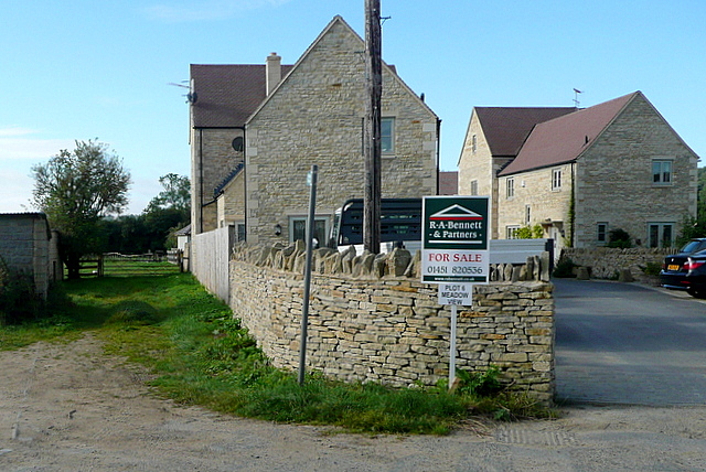
Image: © Graham Horn Taken: 12 Sep 2012
Surprisingly, these new houses have been given the name "Meadow View" not "Gasworks Lane". I wonder why? Two footpaths leave Bourton here, one through the gate to the left and one between the new houses and off to the right.
Images are licensed for reuse under creativecommons.org/licenses/by-sa/2.0
Image Location
Latitude
51.881557
Longitude
-1.759228