Learning Curve, Nantgarw
Introduction
The photograph on this page of Learning Curve, Nantgarw by Jaggery as part of the Geograph project.
The Geograph project started in 2005 with the aim of publishing, organising and preserving representative images for every square kilometre of Great Britain, Ireland and the Isle of Man.

There are currently over 7.5m images from over 14,400 individuals and you can help contribute to the project by visiting https://www.geograph.org.uk
Learning Curve, Nantgarw
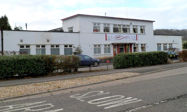
Image: © Jaggery Taken: 6 Jan 2012
Opened in 2011, this is Rhondda Cynon Taf Council's Learning Curve Skills For Independence Day Service which is aimed at improving opportunities for adults with learning disabilities.
Images are licensed for reuse under creativecommons.org/licenses/by-sa/2.0
Image Location
Latitude
51.562833
Longitude
-3.279562