Farm buildings on the footpath to Torberry Hill
Introduction
The photograph on this page of Farm buildings on the footpath to Torberry Hill by Dave Spicer as part of the Geograph project.
The Geograph project started in 2005 with the aim of publishing, organising and preserving representative images for every square kilometre of Great Britain, Ireland and the Isle of Man.

There are currently over 7.5m images from over 14,400 individuals and you can help contribute to the project by visiting https://www.geograph.org.uk
Farm buildings on the footpath to Torberry Hill
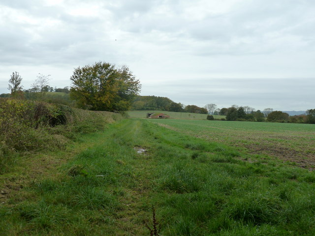
Image: © Dave Spicer Taken: 20 Oct 2012
Torberry Hill, is visible behind the big tree, was an Iron Age Fort.
Images are licensed for reuse under creativecommons.org/licenses/by-sa/2.0
Image Location


Leaflet Map data © OpenStreetMap
Latitude
50.977456
Longitude
-0.879654