King?s Nympton: the village
Introduction
The photograph on this page of King?s Nympton: the village by Martin Bodman as part of the Geograph project.
The Geograph project started in 2005 with the aim of publishing, organising and preserving representative images for every square kilometre of Great Britain, Ireland and the Isle of Man.

There are currently over 7.5m images from over 14,400 individuals and you can help contribute to the project by visiting https://www.geograph.org.uk
King?s Nympton: the village
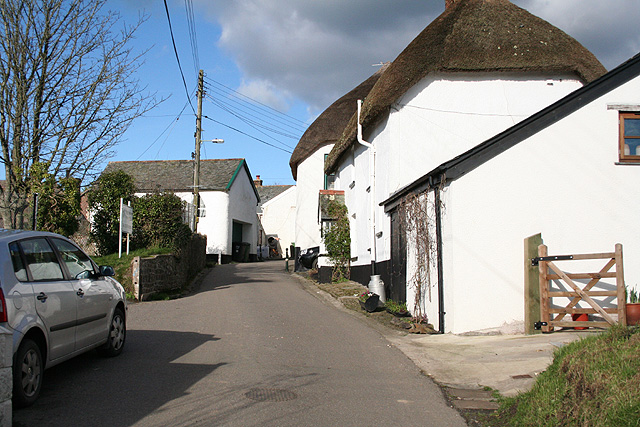
Image: © Martin Bodman Taken: 23 Jan 2007
Looking north with the entrance to the primary school on the left beyond the car. The village has an enclosed feel with narrow entranceways from the south and east: almost a defensible community
Images are licensed for reuse under creativecommons.org/licenses/by-sa/2.0
Image Location


Leaflet Map data © OpenStreetMap
Latitude
50.957953
Longitude
-3.876004