National Cycle Network route 33 signpost, Backwell
Introduction
The photograph on this page of National Cycle Network route 33 signpost, Backwell by Jaggery as part of the Geograph project.
The Geograph project started in 2005 with the aim of publishing, organising and preserving representative images for every square kilometre of Great Britain, Ireland and the Isle of Man.

There are currently over 7.5m images from over 14,400 individuals and you can help contribute to the project by visiting https://www.geograph.org.uk
National Cycle Network route 33 signpost, Backwell
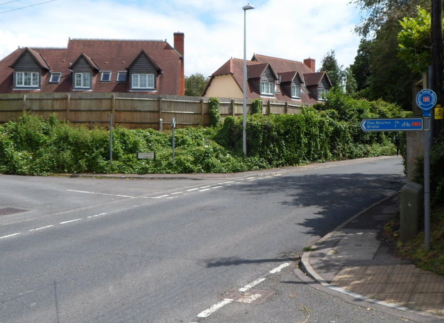
Image: © Jaggery Taken: 13 Jul 2012
The arm on the corner of Westfield Road and Station Road points left along Backwell Common. http://www.geograph.org.uk/photo/3190586 The distances shown are 1¾ miles to Flax Bourton and 7 miles to Bristol.
Images are licensed for reuse under creativecommons.org/licenses/by-sa/2.0
Image Location
Latitude
51.417198
Longitude
-2.744414