Monarch's Way towards Lower Slaughter
Introduction
The photograph on this page of Monarch's Way towards Lower Slaughter by Graham Horn as part of the Geograph project.
The Geograph project started in 2005 with the aim of publishing, organising and preserving representative images for every square kilometre of Great Britain, Ireland and the Isle of Man.

There are currently over 7.5m images from over 14,400 individuals and you can help contribute to the project by visiting https://www.geograph.org.uk
Monarch's Way towards Lower Slaughter
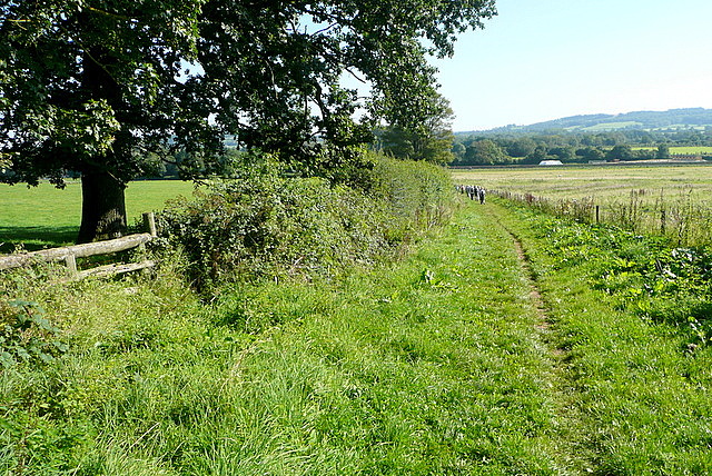
Image: © Graham Horn Taken: 9 Sep 2012
Many of the footpaths around Bourton-on-the-Water are part of long distance paths. The Monarch's Way from Worcester to Shoreham comes up this path.
Images are licensed for reuse under creativecommons.org/licenses/by-sa/2.0
Image Location
Latitude
51.895414
Longitude
-1.764531