Crow Lane, near Woburn Sands
Introduction
The photograph on this page of Crow Lane, near Woburn Sands by Malc McDonald as part of the Geograph project.
The Geograph project started in 2005 with the aim of publishing, organising and preserving representative images for every square kilometre of Great Britain, Ireland and the Isle of Man.

There are currently over 7.5m images from over 14,400 individuals and you can help contribute to the project by visiting https://www.geograph.org.uk
Crow Lane, near Woburn Sands
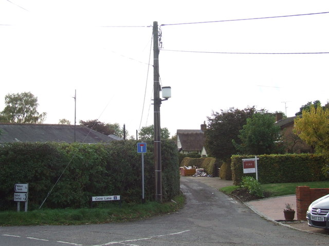
Image: © Malc McDonald Taken: 20 Oct 2012
Crow Lane in the hamlet of Lower End, on the border of Buckinghamshire and Bedfordshire.
Images are licensed for reuse under creativecommons.org/licenses/by-sa/2.0
Image Location
Latitude
52.031264
Longitude
-0.645061