Cycle route and footpath near Harry Stoke
Introduction
The photograph on this page of Cycle route and footpath near Harry Stoke by Jaggery as part of the Geograph project.
The Geograph project started in 2005 with the aim of publishing, organising and preserving representative images for every square kilometre of Great Britain, Ireland and the Isle of Man.

There are currently over 7.5m images from over 14,400 individuals and you can help contribute to the project by visiting https://www.geograph.org.uk
Cycle route and footpath near Harry Stoke
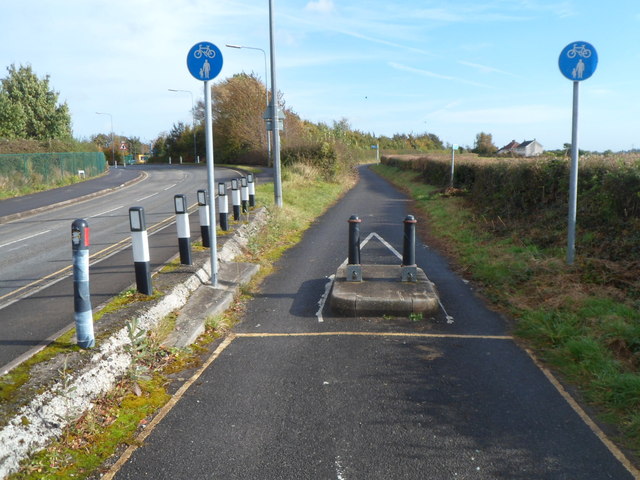
Image: © Jaggery Taken: 18 Oct 2012
Two sturdy posts on a stone base are designed to prevent cars and larger vehicles using the cycle route. The road on the left is Westfield Lane.
Images are licensed for reuse under creativecommons.org/licenses/by-sa/2.0
Image Location
Latitude
51.510189
Longitude
-2.545204