Subway under the A421, Lower Shelton
Introduction
The photograph on this page of Subway under the A421, Lower Shelton by Malc McDonald as part of the Geograph project.
The Geograph project started in 2005 with the aim of publishing, organising and preserving representative images for every square kilometre of Great Britain, Ireland and the Isle of Man.

There are currently over 7.5m images from over 14,400 individuals and you can help contribute to the project by visiting https://www.geograph.org.uk
Subway under the A421, Lower Shelton
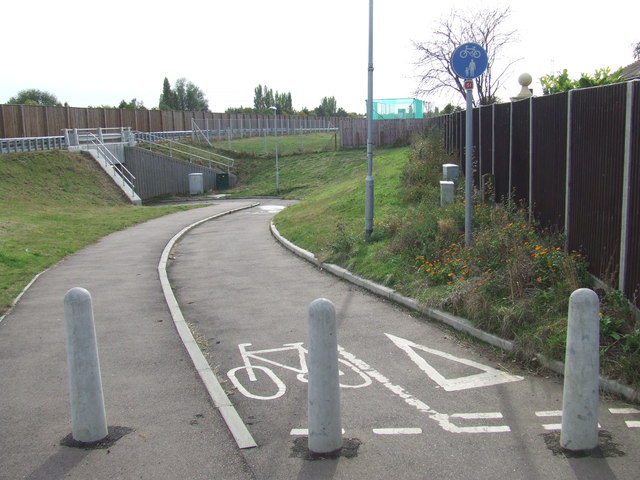
Image: © Malc McDonald Taken: 20 Oct 2012
The A421 main road has cut the local road through the village of Lower Shelton. A subway enables pedestrians and cyclists to cross beneath the A421.
Images are licensed for reuse under creativecommons.org/licenses/by-sa/2.0
Image Location
Latitude
52.071683
Longitude
-0.543601