Country lanes near Wootton
Introduction
The photograph on this page of Country lanes near Wootton by Malc McDonald as part of the Geograph project.
The Geograph project started in 2005 with the aim of publishing, organising and preserving representative images for every square kilometre of Great Britain, Ireland and the Isle of Man.

There are currently over 7.5m images from over 14,400 individuals and you can help contribute to the project by visiting https://www.geograph.org.uk
Country lanes near Wootton
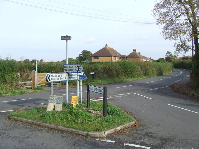
Image: © Malc McDonald Taken: 20 Oct 2012
A junction of country lanes near Wootton in Bedfordshire. Signs show that Hall End Road forms part of both the National Cycle Network and the National Byway. The National Byway is a 3,300-mile cycle route through England and parts of Scotland and Wales. It is separate from the National Cycle Network. More information about the National Byway is on the National Byway website: http://www.thenationalbyway.org/welcome.asp while information about the National Cycle Network is available from Sustrans: http://www.sustrans.org.uk/
Images are licensed for reuse under creativecommons.org/licenses/by-sa/2.0
Image Location
Latitude
52.104175
Longitude
-0.539038