South Laine West Down Furlong/West Down Furlong/West Down Coney Furlong/South Laine Coney Furlong (2))
Introduction
The photograph on this page of South Laine West Down Furlong/West Down Furlong/West Down Coney Furlong/South Laine Coney Furlong (2)) by Simon Carey as part of the Geograph project.
The Geograph project started in 2005 with the aim of publishing, organising and preserving representative images for every square kilometre of Great Britain, Ireland and the Isle of Man.

There are currently over 7.5m images from over 14,400 individuals and you can help contribute to the project by visiting https://www.geograph.org.uk
South Laine West Down Furlong/West Down Furlong/West Down Coney Furlong/South Laine Coney Furlong (2))
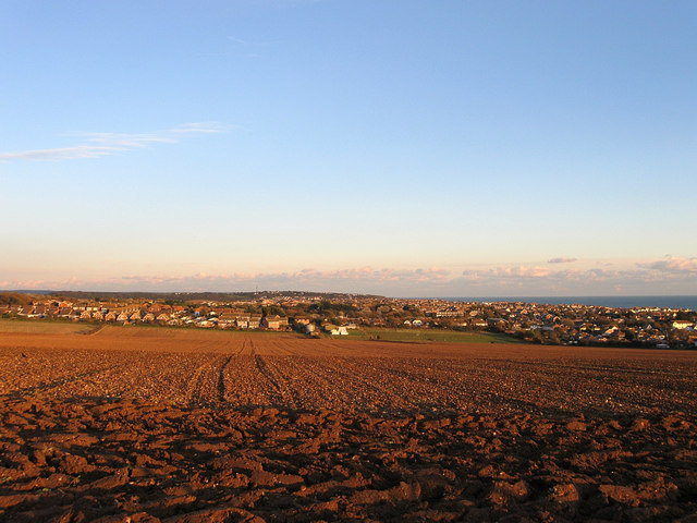
Image: © Simon Carey Taken: 14 Oct 2012
The name of the fields according to Telscombe's 1842 tithe map. The furlongs were often open strips of land within a larger field and often farmed by different tenants. The first three named were located in the foreground and ran southwards to what is now Springfield Avenue. The last named was located further to the east near the current built up area. The houses in the distance on the left were built in the 1960s on the site of Warren Farm which itself came into existence during the latter part of the 18th century and farmed much of the land in view. See also Image
Images are licensed for reuse under creativecommons.org/licenses/by-sa/2.0
Image Location
Latitude
50.801324
Longitude
-0.016923