A68 near Bellshiel Bridge
Introduction
The photograph on this page of A68 near Bellshiel Bridge by Trevor Littlewood as part of the Geograph project.
The Geograph project started in 2005 with the aim of publishing, organising and preserving representative images for every square kilometre of Great Britain, Ireland and the Isle of Man.

There are currently over 7.5m images from over 14,400 individuals and you can help contribute to the project by visiting https://www.geograph.org.uk
A68 near Bellshiel Bridge
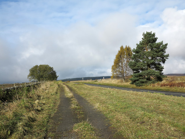
Image: © Trevor Littlewood Taken: 19 Oct 2012
The image shows the A68 heading north-west from a lay by on its south side; the lay by and the stretch of abandoned road continuing from it will be part of an earlier alignment of the route.
Images are licensed for reuse under creativecommons.org/licenses/by-sa/2.0
Image Location


Leaflet Map data © OpenStreetMap
Latitude
55.289163
Longitude
-2.299612