Track between Knaresborough Road and Littlethorpe
Introduction
The photograph on this page of Track between Knaresborough Road and Littlethorpe by Chris Heaton as part of the Geograph project.
The Geograph project started in 2005 with the aim of publishing, organising and preserving representative images for every square kilometre of Great Britain, Ireland and the Isle of Man.

There are currently over 7.5m images from over 14,400 individuals and you can help contribute to the project by visiting https://www.geograph.org.uk
Track between Knaresborough Road and Littlethorpe
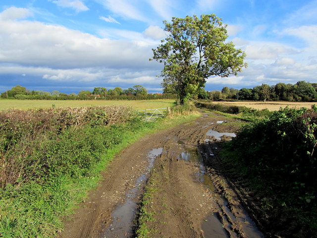
Image: © Chris Heaton Taken: 16 Oct 2012
Muddy track, sandwiched between two hedgerows, leads west to east between the Knaresborough Road just to the south of Ripon and the tiny village of Littlethorpe.
Images are licensed for reuse under creativecommons.org/licenses/by-sa/2.0
Image Location


Leaflet Map data © OpenStreetMap
Latitude
54.118402
Longitude
-1.513008