Barn conversions at Seisdon Hall
Introduction
The photograph on this page of Barn conversions at Seisdon Hall by Richard Law as part of the Geograph project.
The Geograph project started in 2005 with the aim of publishing, organising and preserving representative images for every square kilometre of Great Britain, Ireland and the Isle of Man.

There are currently over 7.5m images from over 14,400 individuals and you can help contribute to the project by visiting https://www.geograph.org.uk
Barn conversions at Seisdon Hall
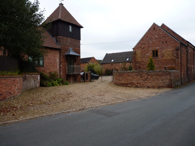
Image: © Richard Law Taken: 10 Oct 2012
Seisdon Hall itself is a Grade II Listed Building, dating from 1840 or thereabouts. It's quite hard to approach for photographic purposes; these nearby buildings are not listed and have been converted to housing.
Images are licensed for reuse under creativecommons.org/licenses/by-sa/2.0
Image Location
Latitude
52.548561
Longitude
-2.236647