Railway SW of Penwern Lane bridge near Penperlleni
Introduction
The photograph on this page of Railway SW of Penwern Lane bridge near Penperlleni by Jaggery as part of the Geograph project.
The Geograph project started in 2005 with the aim of publishing, organising and preserving representative images for every square kilometre of Great Britain, Ireland and the Isle of Man.

There are currently over 7.5m images from over 14,400 individuals and you can help contribute to the project by visiting https://www.geograph.org.uk
Railway SW of Penwern Lane bridge near Penperlleni
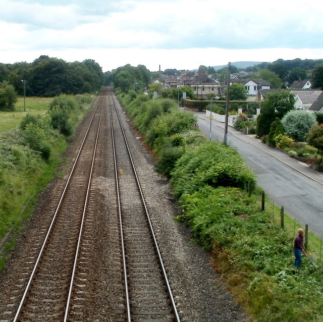
Image: © Jaggery Taken: 30 Jun 2011
Viewed from this http://www.geograph.org.uk/photo/3186394 bridge. The next station ahead is Pontypool & New Inn, about 6km away. Newtown Road is on the right. http://www.geograph.org.uk/photo/3186531
Images are licensed for reuse under creativecommons.org/licenses/by-sa/2.0
Image Location
Latitude
51.74045
Longitude
-2.976663