Path to Bush Close, Telscombe Cliffs
Introduction
The photograph on this page of Path to Bush Close, Telscombe Cliffs by Simon Carey as part of the Geograph project.
The Geograph project started in 2005 with the aim of publishing, organising and preserving representative images for every square kilometre of Great Britain, Ireland and the Isle of Man.

There are currently over 7.5m images from over 14,400 individuals and you can help contribute to the project by visiting https://www.geograph.org.uk
Path to Bush Close, Telscombe Cliffs
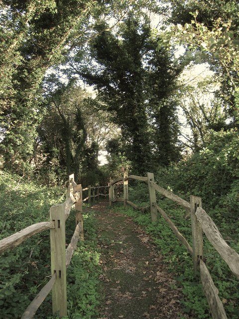
Image: © Simon Carey Taken: 14 Oct 2012
Added in the 1980s and linking the close to Telscombe Cliffs Way. The small wood is actually a former sand pit probably worked by nearby Warren Farm and later became a rough piece of ground local kids played in. The path and fence seems to have stopped all that and allowed the former pit to become somewhat overgrown.
Images are licensed for reuse under creativecommons.org/licenses/by-sa/2.0
Image Location
Latitude
50.80183
Longitude
-0.009664