Central Avenue, Telscombe Cliffs
Introduction
The photograph on this page of Central Avenue, Telscombe Cliffs by Simon Carey as part of the Geograph project.
The Geograph project started in 2005 with the aim of publishing, organising and preserving representative images for every square kilometre of Great Britain, Ireland and the Isle of Man.

There are currently over 7.5m images from over 14,400 individuals and you can help contribute to the project by visiting https://www.geograph.org.uk
Central Avenue, Telscombe Cliffs
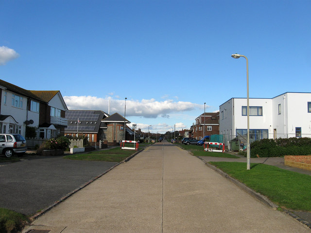
Image: © Simon Carey Taken: 14 Oct 2012
The road runs from The Esplanade northwards to Kirby Drive though once extended further to Telscombe Road. It was laid out in the first decade of the 20th century and like much of the settlement along with neighbouring Peacehaven it is built on a grid pattern and runs in a straight line. This view looks towards the junction with South Coast Road, the A259, with the Telscombe town council building on the left hand side of the crossroads.
Images are licensed for reuse under creativecommons.org/licenses/by-sa/2.0
Image Location
Latitude
50.794261
Longitude
-0.0141