Flooding at Ham riverside
Introduction
The photograph on this page of Flooding at Ham riverside by Stefan Czapski as part of the Geograph project.
The Geograph project started in 2005 with the aim of publishing, organising and preserving representative images for every square kilometre of Great Britain, Ireland and the Isle of Man.

There are currently over 7.5m images from over 14,400 individuals and you can help contribute to the project by visiting https://www.geograph.org.uk
Flooding at Ham riverside
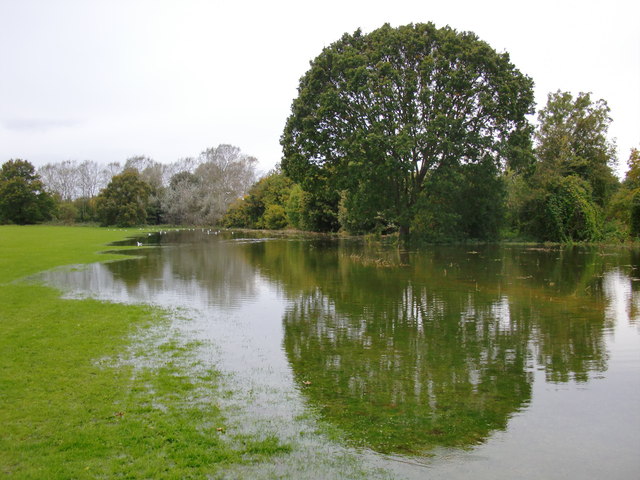
Image: © Stefan Czapski Taken: 17 Oct 2012
Several acres of Ham Lands were under water on this day in mid-October, 2012. There had been a lot of rain in the previous few days, and it wasn't clear to me whether the flooding was directly due to the rainfall, or - more likely, I suspect - a recent high spring tide.
Images are licensed for reuse under creativecommons.org/licenses/by-sa/2.0
Image Location
Latitude
51.444523
Longitude
-0.322608