Rosetta Cottages, Belfast (2012-8)
Introduction
The photograph on this page of Rosetta Cottages, Belfast (2012-8) by Albert Bridge as part of the Geograph project.
The Geograph project started in 2005 with the aim of publishing, organising and preserving representative images for every square kilometre of Great Britain, Ireland and the Isle of Man.

There are currently over 7.5m images from over 14,400 individuals and you can help contribute to the project by visiting https://www.geograph.org.uk
Rosetta Cottages, Belfast (2012-8)
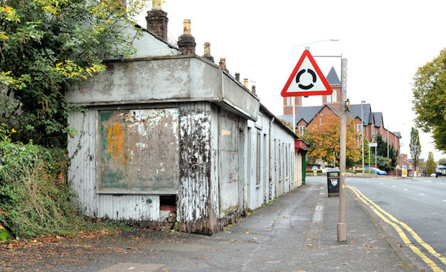
Image: © Albert Bridge Taken: 19 Oct 2012
No change since the previous photograph Image in March 2012. At the time of submission the Planning Service website returns “NEIGHBOURS HAVE BEEN NOTIFIED”.
Images are licensed for reuse under creativecommons.org/licenses/by-sa/2.0
Image Location
Latitude
54.571262
Longitude
-5.914228