Uploders Farm
Introduction
The photograph on this page of Uploders Farm by Roger Templeman as part of the Geograph project.
The Geograph project started in 2005 with the aim of publishing, organising and preserving representative images for every square kilometre of Great Britain, Ireland and the Isle of Man.

There are currently over 7.5m images from over 14,400 individuals and you can help contribute to the project by visiting https://www.geograph.org.uk
Uploders Farm
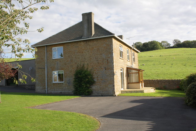
Image: © Roger Templeman Taken: 19 Sep 2012
There is an OS flush bracket benchmark http://www.bench-marks.org.uk/bm10116 Image on the face of the house by the downpipe
Images are licensed for reuse under creativecommons.org/licenses/by-sa/2.0
Image Location
Latitude
50.73245
Longitude
-2.698646