Arable land near Red House
Introduction
The photograph on this page of Arable land near Red House by Graham Horn as part of the Geograph project.
The Geograph project started in 2005 with the aim of publishing, organising and preserving representative images for every square kilometre of Great Britain, Ireland and the Isle of Man.

There are currently over 7.5m images from over 14,400 individuals and you can help contribute to the project by visiting https://www.geograph.org.uk
Arable land near Red House
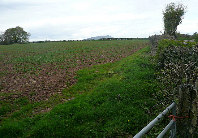
Image: © Graham Horn Taken: 13 Apr 2012
I tried to see if I could see the trig point, which is apparently along that hedge line ahead of us. I could not see it. But I could see the next trig point north, well its location on top of Ysgyryd Fawr (The Skirrid) Image which appears on the horizon.
Images are licensed for reuse under creativecommons.org/licenses/by-sa/2.0
Image Location
Latitude
51.786792
Longitude
-2.927791