A40 towards Raglan
Introduction
The photograph on this page of A40 towards Raglan by Graham Horn as part of the Geograph project.
The Geograph project started in 2005 with the aim of publishing, organising and preserving representative images for every square kilometre of Great Britain, Ireland and the Isle of Man.

There are currently over 7.5m images from over 14,400 individuals and you can help contribute to the project by visiting https://www.geograph.org.uk
A40 towards Raglan
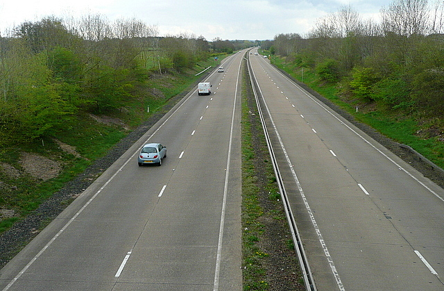
Image: © Graham Horn Taken: 13 Apr 2012
This long dual carriageway section from Abergavenny to Raglan was built in the 1970s, and crosses the old route a number of times.
Images are licensed for reuse under creativecommons.org/licenses/by-sa/2.0
Image Location
Latitude
51.779759
Longitude
-2.907353