House at Pit
Introduction
The photograph on this page of House at Pit by Graham Horn as part of the Geograph project.
The Geograph project started in 2005 with the aim of publishing, organising and preserving representative images for every square kilometre of Great Britain, Ireland and the Isle of Man.

There are currently over 7.5m images from over 14,400 individuals and you can help contribute to the project by visiting https://www.geograph.org.uk
House at Pit
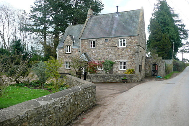
Image: © Graham Horn Taken: 13 Apr 2012
Just because, as I drove through the village, I saw it and liked it.
Images are licensed for reuse under creativecommons.org/licenses/by-sa/2.0
Image Location
Latitude
51.78467
Longitude
-2.911801