Bottom Farm
Introduction
The photograph on this page of Bottom Farm by Graham Horn as part of the Geograph project.
The Geograph project started in 2005 with the aim of publishing, organising and preserving representative images for every square kilometre of Great Britain, Ireland and the Isle of Man.

There are currently over 7.5m images from over 14,400 individuals and you can help contribute to the project by visiting https://www.geograph.org.uk
Bottom Farm
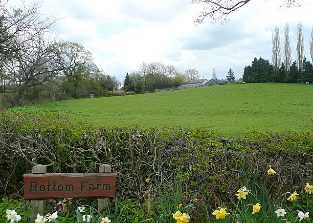
Image: © Graham Horn Taken: 13 Apr 2012
We are in Wales, but Monmouthshire has many English influences. You can't get more English than this farm name. The farm buildings are on the hill. There are daffodils though, so it must be Wales in spring.
Images are licensed for reuse under creativecommons.org/licenses/by-sa/2.0
Image Location
Latitude
51.805755
Longitude
-2.882203