Norbury Parish Churchyard
Introduction
The photograph on this page of Norbury Parish Churchyard by Gerald England as part of the Geograph project.
The Geograph project started in 2005 with the aim of publishing, organising and preserving representative images for every square kilometre of Great Britain, Ireland and the Isle of Man.

There are currently over 7.5m images from over 14,400 individuals and you can help contribute to the project by visiting https://www.geograph.org.uk
Norbury Parish Churchyard
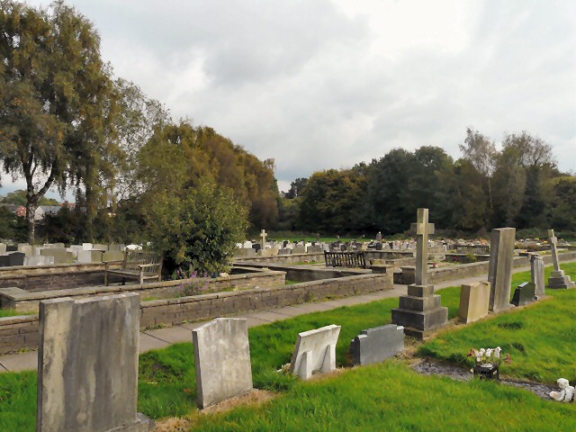
Image: © Gerald England Taken: 13 Oct 2012
There are some 4000 graves in the churchyard which was first opened for burials in 1834 and has continued in use right up to the present day. All the spaces available for new burials have now been used. http://www.norburychurch.org.uk/
Images are licensed for reuse under creativecommons.org/licenses/by-sa/2.0
Image Location
Latitude
53.375569
Longitude
-2.116602