London, SE18 - Circular Way, Woolwich
Introduction
The photograph on this page of London, SE18 - Circular Way, Woolwich by David Hallam-Jones as part of the Geograph project.
The Geograph project started in 2005 with the aim of publishing, organising and preserving representative images for every square kilometre of Great Britain, Ireland and the Isle of Man.

There are currently over 7.5m images from over 14,400 individuals and you can help contribute to the project by visiting https://www.geograph.org.uk
London, SE18 - Circular Way, Woolwich
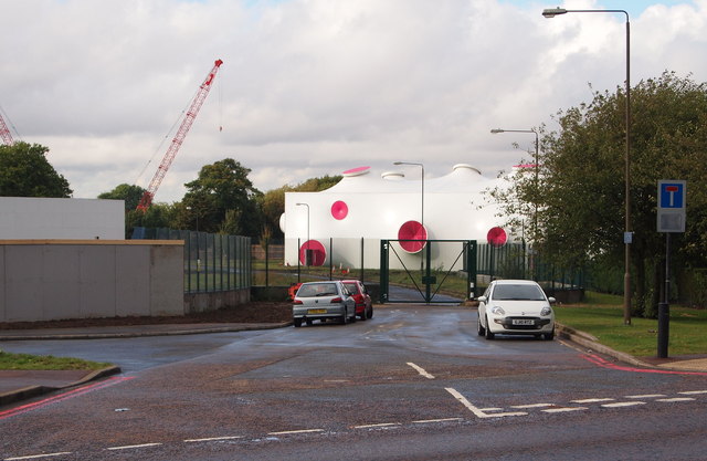
Image: © David Hallam-Jones Taken: 30 Sep 2012
Signs of the deconstruction process of this Olympic & Paralympic Games site used during the summer of 2012 to house the temporary archery and shooting facilities adjacent to Circular Way. Circular Way, seen here temporarily obstructed by gates, links Woolwich Common (Road) - behind the photographer - with Ha-ha Road, through the gates.
Images are licensed for reuse under creativecommons.org/licenses/by-sa/2.0
Image Location
Latitude
51.479802
Longitude
0.059318