Paddock at West Quantoxhead
Introduction
The photograph on this page of Paddock at West Quantoxhead by Graham Horn as part of the Geograph project.
The Geograph project started in 2005 with the aim of publishing, organising and preserving representative images for every square kilometre of Great Britain, Ireland and the Isle of Man.

There are currently over 7.5m images from over 14,400 individuals and you can help contribute to the project by visiting https://www.geograph.org.uk
Paddock at West Quantoxhead
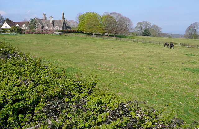
Image: © Graham Horn Taken: 13 Apr 2012
Familiar to many as they sweep round that long bend on the A39 past the church.
Images are licensed for reuse under creativecommons.org/licenses/by-sa/2.0
Image Location
Latitude
51.169247
Longitude
-3.271211