Hollow Way, Bothenhampton
Introduction
The photograph on this page of Hollow Way, Bothenhampton by John Stephen as part of the Geograph project.
The Geograph project started in 2005 with the aim of publishing, organising and preserving representative images for every square kilometre of Great Britain, Ireland and the Isle of Man.

There are currently over 7.5m images from over 14,400 individuals and you can help contribute to the project by visiting https://www.geograph.org.uk
Hollow Way, Bothenhampton
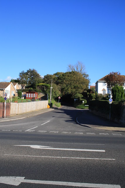
Image: © John Stephen Taken: 14 Oct 2012
View from the west side of the A35 from the pavement above Flood Lane, looking ESE to Hollow Way and Bothenhampton. Hollow way was the continuation of Flood Lane passing under what is now the A35, and was once railway line to West Bay.
Images are licensed for reuse under creativecommons.org/licenses/by-sa/2.0
Image Location
Latitude
50.724723
Longitude
-2.755201