Bridge maker's plate
Introduction
The photograph on this page of Bridge maker's plate by Thomas Nugent as part of the Geograph project.
The Geograph project started in 2005 with the aim of publishing, organising and preserving representative images for every square kilometre of Great Britain, Ireland and the Isle of Man.

There are currently over 7.5m images from over 14,400 individuals and you can help contribute to the project by visiting https://www.geograph.org.uk
Bridge maker's plate
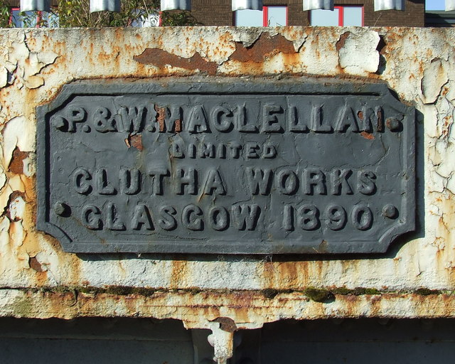
Image: © Thomas Nugent Taken: 8 Oct 2012
On the Kerr Street bridge over the former Glasgow City and District Railway line which ran from High Street station to the former Bridgeton Cross (later renamed to Bridgeton Central) station which closed to passengers in 1979. P & W Maclellan Limited Clutha Works Glasgow 1890
Images are licensed for reuse under creativecommons.org/licenses/by-sa/2.0
Image Location
Latitude
55.852427
Longitude
-4.227245