Converted farm buildings at Newbiggin
Introduction
The photograph on this page of Converted farm buildings at Newbiggin by Robert Graham as part of the Geograph project.
The Geograph project started in 2005 with the aim of publishing, organising and preserving representative images for every square kilometre of Great Britain, Ireland and the Isle of Man.

There are currently over 7.5m images from over 14,400 individuals and you can help contribute to the project by visiting https://www.geograph.org.uk
Converted farm buildings at Newbiggin
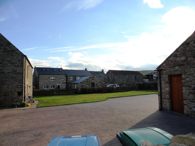
Image: © Robert Graham Taken: 15 Oct 2012
This is a small former farming hamlet west of Lanchester. Most of the buildings seem to have been converted for domestic use. The whole lot were probably part of one large farm in Victorian times.
Images are licensed for reuse under creativecommons.org/licenses/by-sa/2.0
Image Location
Latitude
54.822758
Longitude
-1.770715