Bournemouth: Priory Road becomes West Cliff Road
Introduction
The photograph on this page of Bournemouth: Priory Road becomes West Cliff Road by Chris Downer as part of the Geograph project.
The Geograph project started in 2005 with the aim of publishing, organising and preserving representative images for every square kilometre of Great Britain, Ireland and the Isle of Man.

There are currently over 7.5m images from over 14,400 individuals and you can help contribute to the project by visiting https://www.geograph.org.uk
Bournemouth: Priory Road becomes West Cliff Road
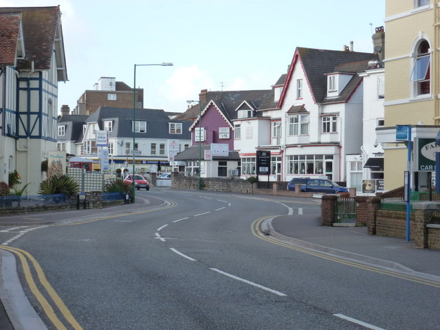
Image: © Chris Downer Taken: 16 Oct 2012
Having ascended steeply from near the Pier Approach, Priory Road becomes West Cliff Road at the right-turn in the centre of the picture. West Cliff Road then runs for a mile or so towards Westbourne. This area is full of hotels and guest houses for all sizes of wallet.
Images are licensed for reuse under creativecommons.org/licenses/by-sa/2.0
Image Location
Latitude
50.71677
Longitude
-1.882381