Field at Silverton Park Farm
Introduction
The photograph on this page of Field at Silverton Park Farm by Rod Allday as part of the Geograph project.
The Geograph project started in 2005 with the aim of publishing, organising and preserving representative images for every square kilometre of Great Britain, Ireland and the Isle of Man.

There are currently over 7.5m images from over 14,400 individuals and you can help contribute to the project by visiting https://www.geograph.org.uk
Field at Silverton Park Farm
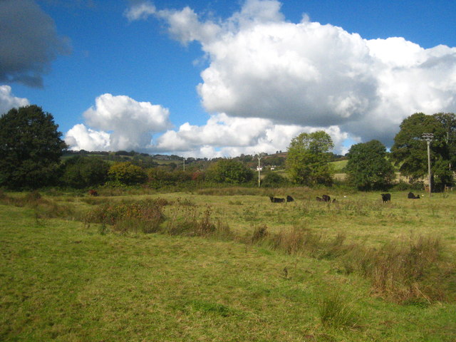
Image: © Rod Allday Taken: 14 Oct 2012
The line of tall grasses running across the photo marks the route of a small stream which runs unltimately into the River Culm to the south east of here.
Images are licensed for reuse under creativecommons.org/licenses/by-sa/2.0
Image Location
Latitude
50.811641
Longitude
-3.474531