Fields next to Sheep Leys Farm
Introduction
The photograph on this page of Fields next to Sheep Leys Farm by Nigel Mykura as part of the Geograph project.
The Geograph project started in 2005 with the aim of publishing, organising and preserving representative images for every square kilometre of Great Britain, Ireland and the Isle of Man.

There are currently over 7.5m images from over 14,400 individuals and you can help contribute to the project by visiting https://www.geograph.org.uk
Fields next to Sheep Leys Farm
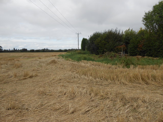
Image: © Nigel Mykura Taken: 2 Sep 2012
This field of wheat had been cut by the harvester leaving very long stalks on the ground.The hedge on the right marks the boundary of Sheep Leys Farm, most of which is in the adjoining square SP1850.There are no roads, no buildings and no rights of way in this square.
Images are licensed for reuse under creativecommons.org/licenses/by-sa/2.0
Image Location
Latitude
52.152493
Longitude
-1.738624