"PUFFIN" crossing, Belfast
Introduction
The photograph on this page of "PUFFIN" crossing, Belfast by Albert Bridge as part of the Geograph project.
The Geograph project started in 2005 with the aim of publishing, organising and preserving representative images for every square kilometre of Great Britain, Ireland and the Isle of Man.

There are currently over 7.5m images from over 14,400 individuals and you can help contribute to the project by visiting https://www.geograph.org.uk
"PUFFIN" crossing, Belfast
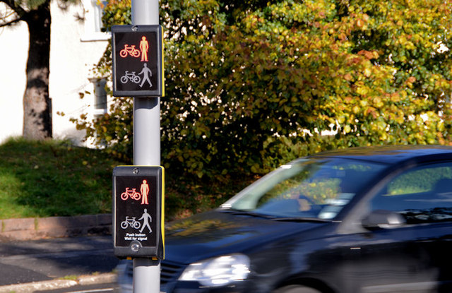
Image: © Albert Bridge Taken: 15 Oct 2012
Puffin crossings (explained in Image) are becoming more common. This one, which incorporates a cycle aspect, is where the Comber Greenway Image (part of national Cycle Route no 99 Image) crosses the Beersbridge Road.
Images are licensed for reuse under creativecommons.org/licenses/by-sa/2.0
Image Location
Latitude
54.595069
Longitude
-5.882992